The Muro-dō hut is open for the accommodation of pilgrims during 50 days, from July 20 to September 10. No bedding is procurable, nor any food but boiled rice. To the summit (of Tateyama), called Go-hon-sha, is a distance of 1 ri. A short stretch of level ground, partly covered with snow lies between the hut and the base of the upper ridge. The ascent thence is almost direct and, as far as the first shrine (860 ft. above the·Muro-dō), tolerably easy. Beyond this point, however, it becomes difficult.
 |
| View of the Kurobe River Woodprint by Yoshida Hiroshi |
The summit, on a clear day commands a most imposing survey on every side. The number of mountains to be distinguished is perhaps greater than from any other elevation in Japan. To the extreme left, looking eastward, are seen Miō-kō-zan, Miō-gi-san and Yone yama in Echigo, Nan-tai-zan near Nikko, To-gakushi san and the volcano of Asama yama in Shin-shū.
Towards the S. rises the range of Yatsu-ga-take, with the isolated peak of Tateshina yama, beyond which are seen the simple cone of Fuji, the high summits of Shirane and Koma-ga-take in Koshū; further S. again are Koma-ga-take and Ontake in Shin-shiū; Yari-ga-take, Norikura, Kasa-ga-take, and, in closer proximity, Yakushi-ga-dake, all in Hida; while almost due S.W. is Haku-san, on the borders of Kaga. Below to the W. lie the plains of Kaga and Etchū, the latter watered by the Jin-dzū and Jō-gwan-ji, and to the N. the view is bounded by the Sea of Japan.
Instead of descending to Ashikura it is possible to take a short cut to Kurobe by crossing over the ridge of Jō-do-san and entering the valley of Gozen-dani. The distance is said to be only 2½ ri, but the difficulties of the journey are so great that Kurobe can hardly be reached in less than 6 or 7 hours. The path branches off left from the first shrine above the Murodo, and descending a grassy slope, comes to a difficult and dangerous talus of loose stones.
It next follows the rocky course of a cold mountain stream, then crosses a gentle snow slope, and rejoins the river-bed of the same stream. Further on it ascends a tributary stream flowing down the valley on the left of Jō-do-san, and then diverging to the left up a smaller bed, crosses the ridge dividing Tate-yama from the valley of the Zara-goye. This part of the journey is extremely fatiguing, the ascent to the top of the ridge being very steep and precipitous. Near the summit the path winds to the 1., and soon begins rapidly to descend.
Great care is now required to avoid bruises from the sharp stones which form the side of the hill, as they are treacherously hidden by the creeping dwarf alder and thick masses of bamboo grass. On reaching the stream at the bottom of the ridge, its course should be ascended for ½ hr. to the point where it is crossed by the Shin-do (see p. 314). At the hamlet of Kumano, 1½ ri from Toyama, the road crosses a bridge over the Kumano-gawa, and continues on to Okubo, a village straggling along a tedious avenue of fir-trees and bamboos.
From this point, it ascends to the hot springs of Yaki, where it enters the mountains and ½ ri on crosses a ferry over the Jiodzū-gawa to Sasadzu, which, like most of the hamlets along this route, consists of but a few miserable huts. Ascending the left bank through very pretty scenery, it reaches Ioridani (Inn, by Akaza Kiū-shi-rō). In summer, when the silkworms are being reared in every room, the odour which these insects emit and the flies which they attract make it almost impossible to stay anywhere in the valley except at this inn and the temple mentioned below…
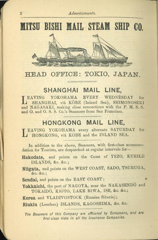 |
| Advertisement from the Satow and Hawes guidebook, 1884 edition |
Yoshino (accommodation at the house of Muramatsu Kichi-shi-rō; the quarters are poor, but the people are very obliging) Close to this village, the Jin-dzū-gawa is crossed by a kago-no-watashi.
This substitute for a bridge is constructed in the following manner. Four stout hempen ropes are secured to each bank of the river, at a point where it narrows and cuts its way between some fine rocks.Suspended to these ropes is a cradle of very simple structure, consisting merely of a plaited wicker circular bottom over which are bent two hoops made of tough branches crossing each other at right angles and firmly secured to the bottom. The ropes across the river pass under these hoops and thus the cage is hung.
 |
| Pole-bridge at the foot of the Abo Pass Photo by H J Hamilton, in Walter Weston's Mountaineering & Exploration in the Japanese Alps |
The cradle is hauled across by lines attached to it from either side of the river, and the method of crossing is to get into the cage and to be pulled over by men on the bank. Another way of crossing, and the one which is usually adopted by the peasant, is thus. He enters the cage, plants his feet firmly against the lower part of the hoops, leans well forward, and clasps the rope above him with his hands, and then by a series of jerks like the leaps of a frog, takes himself and the cage across to the opposite side. It requires great practice to be able to perform this antic, and at the same time good nerve is indispensable.
The main point seems to be not to lose the hold with the feet; the jerk is performed from the knee and hip, and unless great care is taken an inexperienced person may find himself hanging from the rope with the cage left behind him.
Fine masu (salmon-trout), weighing from 4 to 8 lbs., are taken in the river. A four-pronged spear, which fits into a staff having a stout line attached to it, is used for catching these fish. Ai and iwana are also taken by netting. The seasons for fishing are the end of spring and the beginning of autumn.
References
Excerpted from Ernest Mason Satow, CMG, and Lieutenant A G S Hawes, A Handbook for Travellers in Central & Northern Japan: Being a Guide to Tōkiō, Kiōto, Ōzaka and Other Cities; the Most Interesting Parts of the Main Island Between Kōbe and Awomori, with Ascents of the Principal Mountains, and Descriptions of Temples, Historical Notes and Legends, London, John Murray. The link leads to the 1881 edition, but the text above comes from the 1884 edition.
No comments:
Post a Comment